




Key Information Guide GOA


Share

INTRODUCTION
<p>Goa is a small state, but it does not move like a compact city. Beaches, villages and towns sit along a 100-km coastline linked by two-lane roads and river bridges. North to south can take two to three hours in season traffic. The state suits travellers who pick a base and explore outward, rather than those who want to see everything in one trip.</p>
<p>Split your days by geography. Use North Goa for beach clubs, flea markets and nightlife. Use Panaji and Old Goa for heritage walks, galleries and Goan dining. Use South Goa for quieter beaches and slower village days. Public transport is limited, so plan around a driver, a self-drive car or the state taxi app.</p>

Getting There

LOCAL TRANSPORT
- Buses
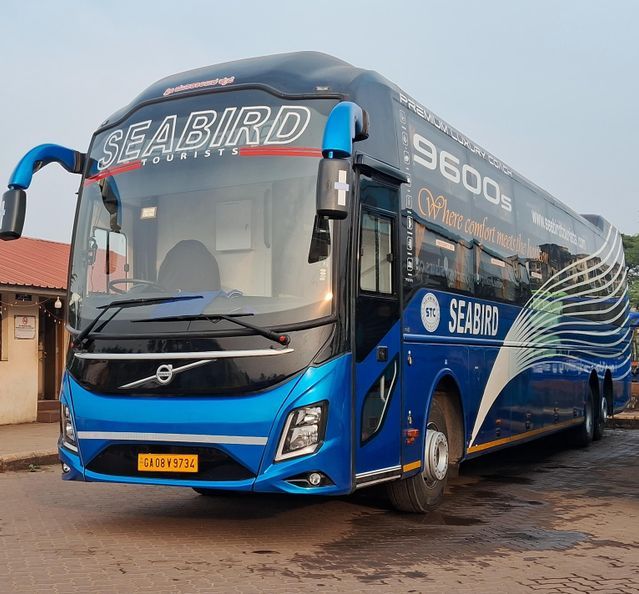
Kadamba (KTCL) runs state buses between Panaji, Mapusa, Margao and Vasco, plus private buses on village routes. Electric AC shuttles link Mopa airport to Calangute, Mapusa, Panaji and Margao. Fares are low, but frequency drops sharply after dark. - Trains
Konkan Railway stations at Thivim (North), Karmali (near Old Goa) and Madgaon (South) connect Goa with Mumbai and Kerala. Trains are useful for arriving, not for moving between beaches. - Taxis
Tourist taxis are white with yellow-on-black permits and rarely use meters. Agree the fare before you get in. Hotel desks can quote fair rates for common routes. - Motorcycle Taxis (Pilots)
Licensed pilots wait at stands near markets and junctions. They suit short solo hops through narrow lanes. Agree the fare first and wear the helmet offered. - Ferries
Government ferries cross the Mandovi and other rivers to villages such as Divar and Chorao. Fares are nominal. They work as a slow scenic link, not a time-saver.


